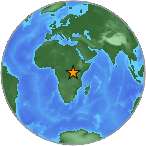
Two large earthquakes strike the Lake Albert Region, Uganda. USGS
A 5.7 magnitude quake, followed three hours later by a 5.4 quake, shook the Lake Albert Region of Uganda, July 3, 2013.
The Nile
The Nile River flows into Lake Albert, and this part of Africa is a geologic “split” in the continent. Uganda lies almost completely within the Nile River Basin, and is home to some of the oldest life forms in Africa.
This region is the most seismically active region in Uganda and also one of the most seismically active zones in the East Africa Rift System because it is bounded by steep active faults. Landslides are commonly triggered by these earthquakes, which block roads and impede relief efforts.
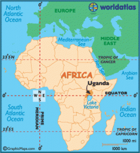
Uganda is in one of the most active earthquake areas in Africa.
Crustal Downthrow
Earthquakes in this part of Africa are connected to one of two possible fault planes, and they signal significant crustal shifting. Earthquakes in this particular region are associated with surface faulting that results in a downthrow to the southeast. This typically signals movement occurring both east and north of the African Plate.
Keep an eye out for more quakes in this region because they may be a signal that large movements are setting up in the Indian Ocean, east of Africa, in the Middle Eastern regions, and north of Africa in the Mediterranean Sea.
