While political tension in the Middle East increases, no one is paying attention to the fact that the Earth is building up pressure off their borders. Many people do not understand that the Earth is much more powerful than humans, and this may soon become evident as earthquakes increase in the Middle East. The chance that a tsunami could flood this area is very real. No one is paying attention to this possibility.
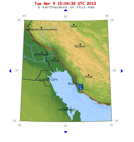
USGS Map of Iran Earthquakes On the Persian Gulf
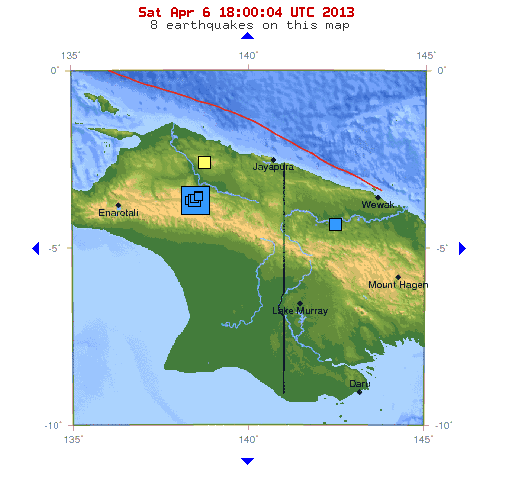
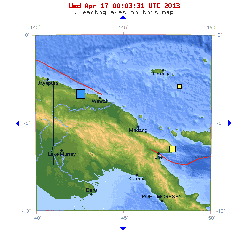
Earthquakes Continue In The Middle East
Eathquakes continue to rattle Iran along the Persian Gulf and along the Iran- Pakistan border. On May 5, 2103, the tension increased along the Arabian Plate when a 4.9 magnitude quake shook the Gulf of Aden, south of the Red Sea.
The Arabian Plate
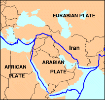
USGS Map of the Arabian Plate
The Arabian Plate and the Eurasia plate are colliding, and over time, many cities and oil refineries will be in danger of destruction from earthquakes, tsunamis, and volcanoes. The Arabian Plate was part of the African Plate about 500 million years ago. As the plates spread apart, the Red Sea, the Gulf of Aden, and the Persian Gulf formed. As more earthquakes occur in these areas today, it is a reminder to us all that this area is unstable, geologically, and countries should rethink where they concentrate their populations, how they construct their cities, and where they position power plants and nuclear facilities.
Maybe if we focus more on upcoming Earth changes, we might reconsider how we handle the present “human conflicts” this area faces today.